Arrive Calenzana
Beginning of your stay in Calenzana. Settle into your accommodation.
Calenzana to Ortu di Piobbu
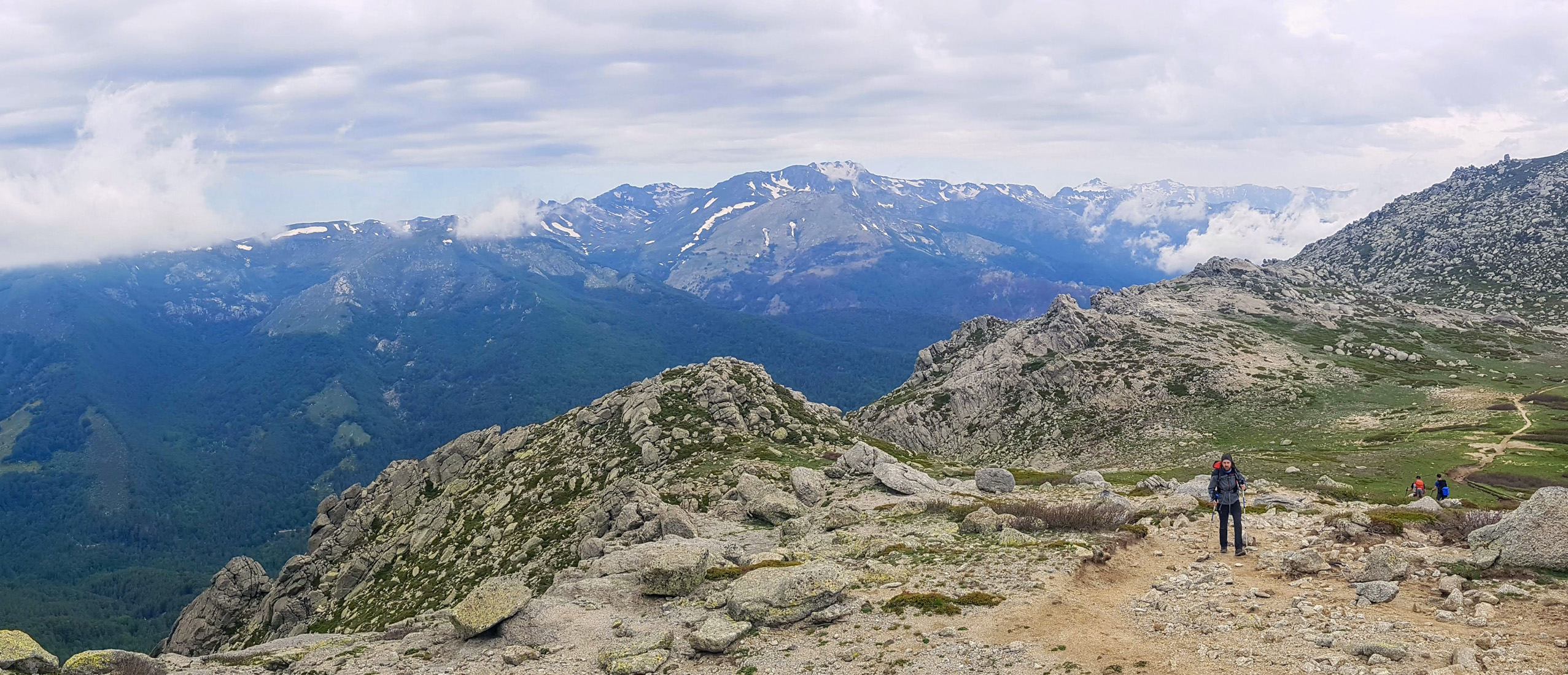
The GR20 crosses the massif of Bonifatu in three days, they are amongst the hardest of the whole trek. For this first day you head out from the vibrant emblematic village of Calenzana and head up through the maquis. The scenery is breathtaking, you are soon looking at the coastline and the Balagne area below. The maquis gives way to forest, which in turn gives way to high granite mountains. This is a varied day and certainly one of the most exhausting.
Ortu di Piobbu to Carrozzu
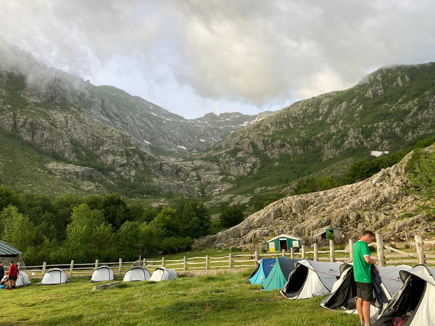
This day breaks into two clear sections, the first half crosses a basin area that is dotted with woodland. The second part is outstanding, the ambiance is high and airy as you enter into a semi circle of high mountains. The trail works its way around the edge of a large cirque and the panoramic view of all the highest peaks is inspiring. From the far side of the cirque you drop down towards the refuge, a sign that you are drawing close is the box tree vegetation that thrives here. You arrive at Carrozzu, surrounded by box trees, with great sunsets!
Carrozzu to Haut Asco
You leave the refuge and head for a swing bridge, once across the bridge you walk beside large slabs of granite, the Spasmata slabs. Time for a break at the lake before climbing up to the passage called the Muvrella Col. From here, the views back across Calvi and the West coast are remarkable. You soon change directions and start the descent towards Haut Asco, large granite blocks give way to pine tree forests as we arrive at the old ski station.
Haut Asco to the Melarie Valley
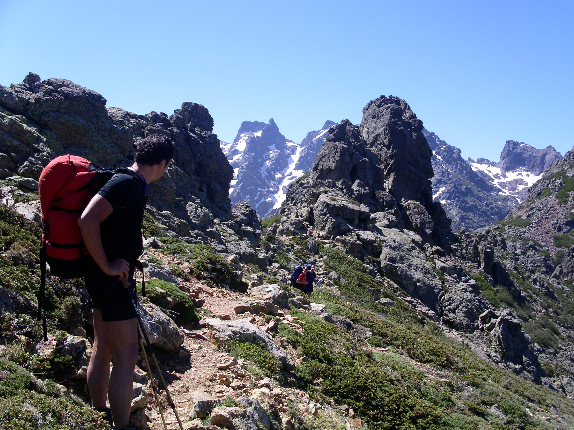
Today is a tough, high altitude mountain walk. You make your way uphill progressively to the foothills of the Monte Cinto, the highest summit on the island. The climb is steep, rocky and slow, the slopes covered in scree making for an austere landscape. The path climbs up to the small lake and you arrive at the ‘Pointe des Eboulis’ at 2607m this is the highest point on the GR20, the view is absolutely spectacular. After a couple of hours more, you arrive at Bocca Crucetta, a ridge and your way out down to the Melarie valley.
Melarie Valley to Col de Vergio
A short part of the walk is through the forest, then a long, steep and difficult walk up to the col de Foggiale. From the col, it’s a short walk across to Ciottolu refuge, situated at 2000m altitude it is the highest one on the trail. Behind the refuge are two proud mountains, the curious Tafunatu with it’s strange arch formation and the Paglia Orba with its volcanic red rock looming proudly above. From the refuge a ridge walk offers views of the west coastline. You drop into the valley, time for a swim, if you wish, before arriving at Castel di Vergio.
Col de Vergio to plateau de Camputile
You take the GR20 along an easy enjoyable trail for the first few hours, then the ascension to Col St Pierre. From the Col a stunning ridge walk to the lake, ‘Lac de Nino’ surrounded by spongy green turf and runnels of water, this is a lovely summer grazing ground for horses. Continuing on a gentle descent, the trail leads to the shepherd’s cabin of Vaccaja, the plateau of Camputile and Manganu.
Plateau de Camputile to Petra Piana
Leaving the plateau, the walk becomes quickly testing. You need to adapt a steady rhythm in order to get to the high mountain pass called the Brèche de Capitello (2225m) This is a delicate high section, once across the pass, the trail skirts around a series of lakes. You can enjoy great views down on Capitello lake, with its sheer granite cliffs; it’s the deepest glacier lake in Corsica, 43m. Further on, you will spot the lac de Melo, this is an apple shaped lake surrounded with spongy lawns. You gain altitude again, going up and over another col to discover a third small lake, the Rinoso. From the col de Muzzarela the terrain because almost lunar with great blocks of granite. This is the last section before you arrive at the refuge.
Petra Piana to L'Onda
This is a short but technical section, you follow the ridge and you are exposed all the time. It’s hard to advance quickly as the trail is so rocky and challenging. As you progress along the ridge you will traverse a series of summits, this section is known as the Pinzi Corbini. On the West coast, way beneath you, is the Gulf of Ajaccio. You leave the ridge at the end of the section to drop down 20mins to the refuge and shepherd’s cabin, l’Onda. In bad weather, particularly if it’s windy, the ridge walk is replaced by a GR20 variant that is at a lower level and leads safely down into the valley. You arrive at l’Onda cutting out the exposed section. The refuge of L’Onda is colourful, lots of goats, sheep, mules and horses. The homemade brocciu spinach lasagna is pretty good!
L'Onda to Vizzavona
From l’Onda you will quickly arrive at the col that topples into the valley l’Agnone. The massif of the Monte d’Oro dominates here, it’s one of the island’s highest summits. We drop down through the valley and arrive alongside a mountain torrent that was particularly favored by the English at the turn of the century, the ‘Cascade des Anglais.’ If you want a stop on the way down, you can choose from one of the inviting rock pools with sun baked rocks and enticing pools.
Vizzavona to Col de Verde
Vizzavona is a huge forest with a small hamlet and train station. It is considered the mid way point for the GR20. It is also a famous col that separates the two counties of Corsica. From the col, a forest trail leads up through the beach woods to Bocca Palmente 1650m. On a clear day you can see the islands of Elba and Caprai. After Capanelle a forest route crosses the massif of Renoso passing and the plateau of Gialgone.
Col de Verde to Usciolu
Setting out from Col de Verde, it’s uphill right from the start. You walk steeply up through the forest to gain the ridge line above. As soon as you reach the ridge you can enjoy looking down on the Eastern side of the island. You soon reach the refuge of Prati situated on a small plateau area. Continue on to a higher ridge that will take you to the next refuge. You have the East coast on one side and the valley of Taravo on the other, with small villages dotted below. Your night stop, Usciolu, is situated just below the ridge line.
Usciolu to Cuscionu plateau
From the refuge you make the short walk back up to the ridge line. The ridge is roughly at 1800m, the trail topples from one side to the other. You have to go slowly, the views are amazing, one minute you’re looking at the Tyrrhénienne sea and then you have views towards the mountainous interior. You finally come off the ridge line, drop down through a dwarf oak forest and head towards the spongy plains of the Cuscionu plateau for your nights stop at Croci.
Cuscionu plateau to Bavella
From the green fertile plains you head uphill towards the ridge line and the col called Bocca Chiralba. Aiming for the ridge of the Alcudini, this is the highest mountain in the south section. The GR20 heads down the other side of the ridge dropping down to the Asinau Valley. You cross the river then head into the shade of the forest. After a couple of hours on the flat, you pull steeply up to the ‘Alpine Variant.’ The trail passes by the foot of the high needles that have made Bavella famous. It’s a high concentration trail, rough underfoot all the way to the col de Bavella.
Bavella to Conca
A great last day, setting out from Bavella, a trail winds through the woods to Paliri refuge. You won’t be disappointed with the beauty of this stage, it’s the last one but by no means any less dramatic. You can enjoy a spot of lunch at Paliri before continuing on to Conca for a well earned rest. This stage is a superb jumble of rock and pine and water. From Paliri to Conca you can just reflect on the 200km behind you and you approach the East coast. Holiday ends upon arrival in Conca. Taxi transfers available upon request.
Programs have been drawn up according to the latest information available at the time of writing: imponderables are always possible and situations beyond our control may alter the course of the program.


