Arrive Vizzavona
Start of your stay in Vizzavona. Settle into your accommodation. Access by train from Ajaccio, Bastia or Calvi.
Vizzavona to L'Onda
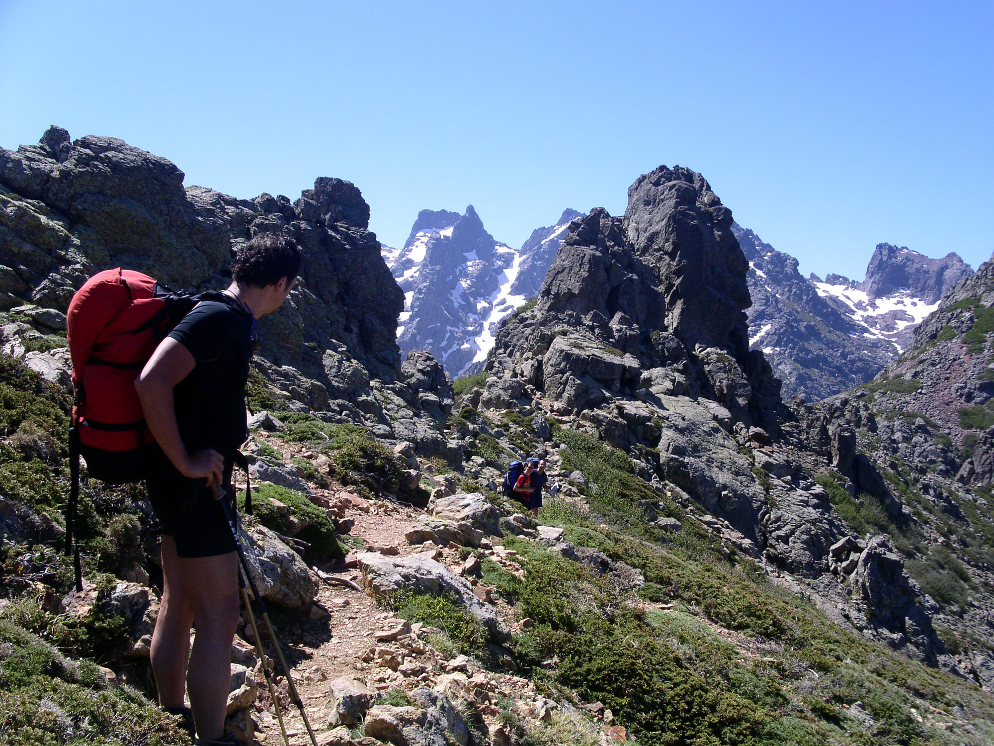
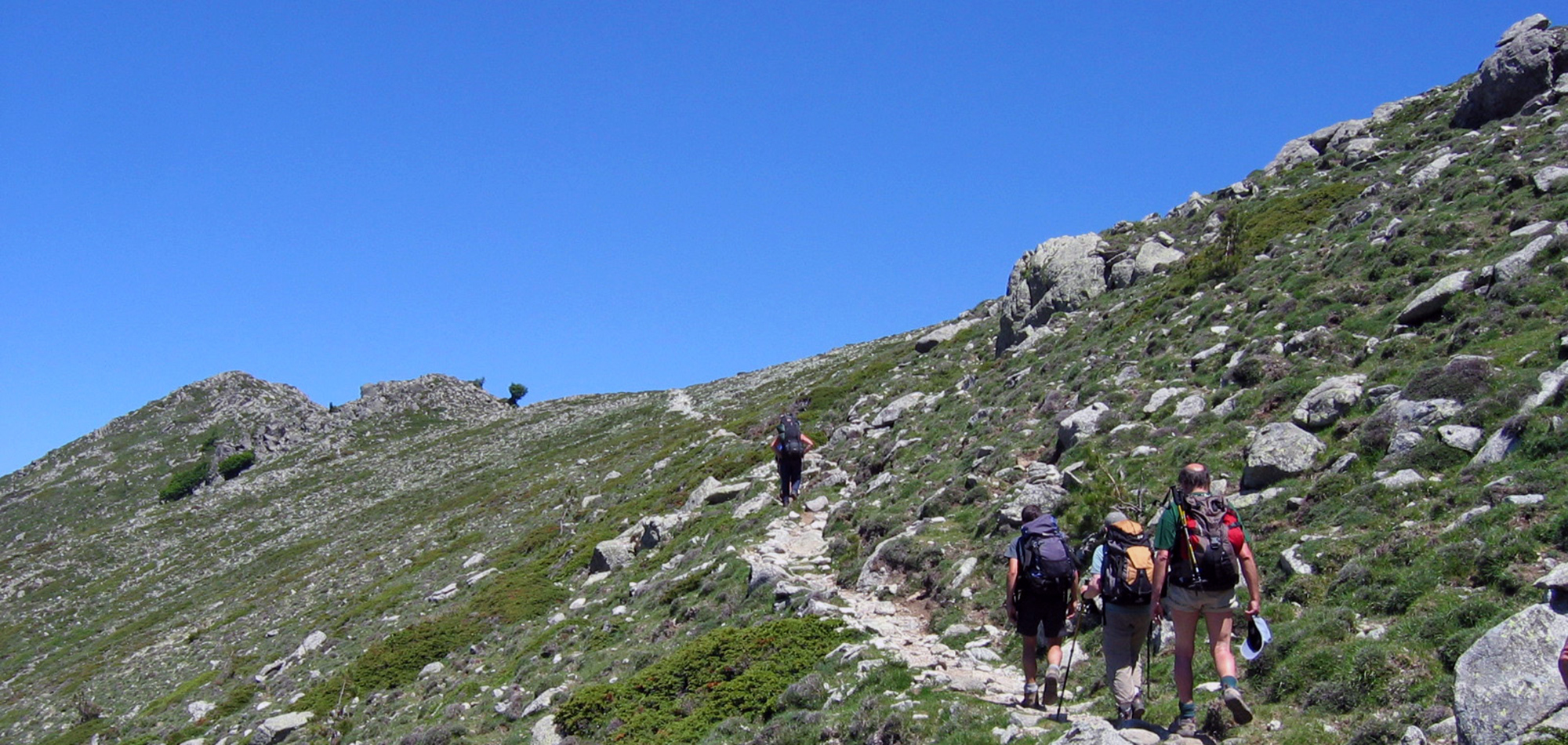
First steps on the GR20 north in a very mineral environment. The climb takes you through the Vizzavona forest to the cascade des Anglais. The GR runs alongside the Agnone stream and passes close to the Tortetto sheepfold. This is followed by a climb over rocky slabs towards the Pointe de Muratellu (2141 m). The panorama of the Monte Rotondu massif is breathtaking. The descent to the refuge and the Onda sheepfolds offers an opportunity to appreciate a pastoral area that is still active.
L'Onda to Petra Piana
A great day in the mountains with a traverse of the alpine variant leading to the Petra Piana refuge (1850 m). Leaving the Onda sheepfolds, you'll climb the ridges of the Serra di Tenda via Capu a Meta. The GR20 then takes you to the Pinzi Corbini peak (2021 m), from where you have a commanding view of part of the island's west coast, including the Bay of Ajaccio. The route is very wild, offering breathtaking panoramas. The route continues through the Serra Bianca before descending to Bocca Manganello (1790 m). At the end of the day, you'll arrive at the Petra Piana refuge.
Petra Piana to Camputile plateau
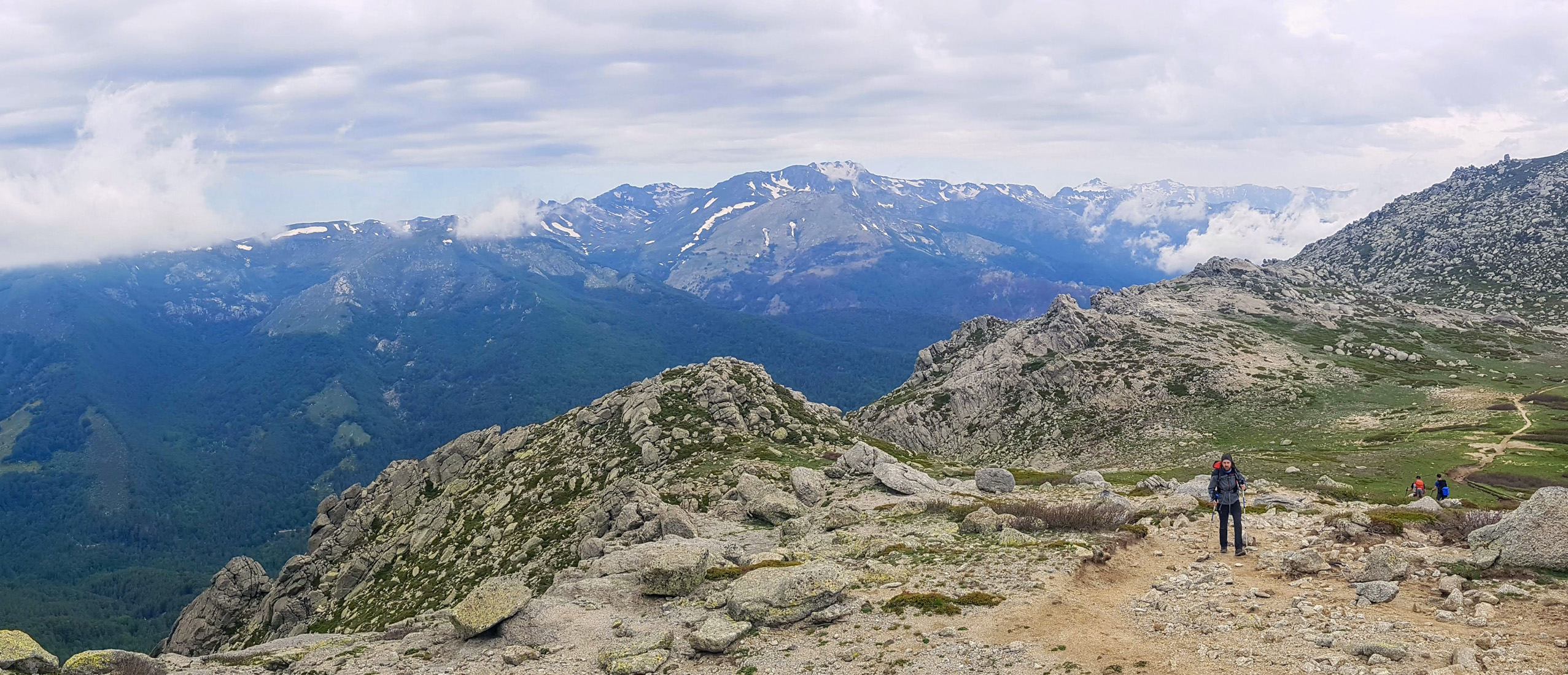
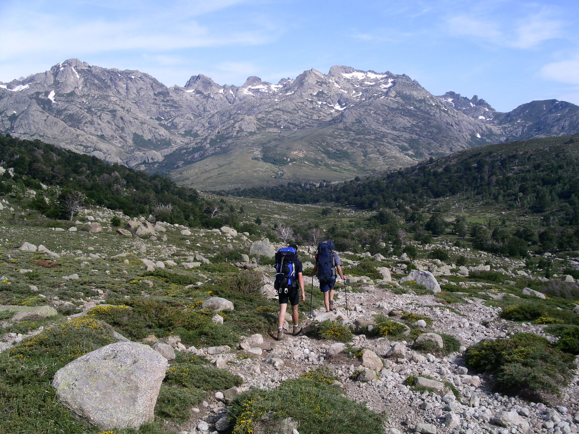
This is a high mountain stage with a few technical sections equipped with chains. You will soon reach Bocca Muzzella (2206m) and enter the upper Restonica valley. From this point, the GR20 overlooks several glacial lakes: Risono, Melo and Capitello. From Bocca à Soglia to Bocca Alle Porte, the path follows a ridge dotted with large granite boulders. The views along the way are breathtaking. To the east, you'll have a view of the great peaks of the Rotondu massif, and to the west, the sea and the vast Gulf of Sagone. You will then descend through a vast scree to the source of the Filiccioni waterfall. Finally, a gentler route will take you to the Manganu refuge.
Camputile Plateau to Col de Vergio
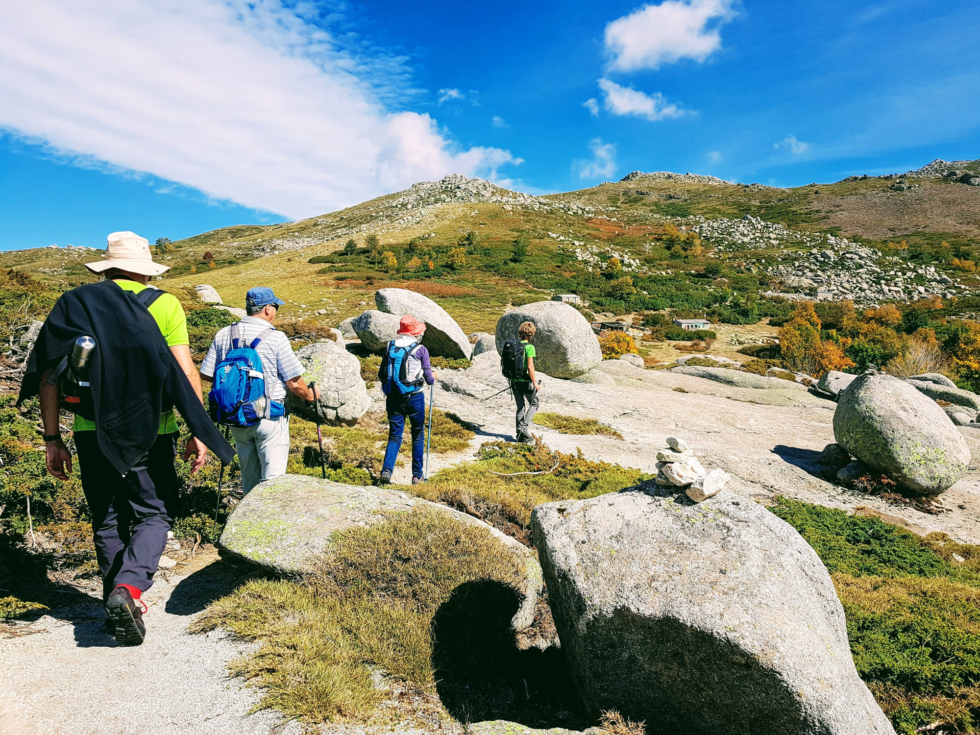
TThe GR20 descends to the Bocca d'Acqua Ciarnente (1703m) before reaching the Vaccaghja sheepfolds, crossing the vast Camputile plateau where herds of cows graze freely. You'll follow the Tavignano stream through a forest of beech trees shaped by time. The route then takes you past the old Campiglione refuge, and on to the Inzecche sheepfolds. You'll then be amazed by Lake Nino, with its magnificent pozzines and lush green meadows. Here, wild horses, cows and sheep revel in the fresh grass. After crossing the Bocca a Rera pass, follow a path through the Vergio forest, passing the Bocca San Petru.
Col de Vergio to Melarie Valley
The path through the Valdu Niellu forest is long but rolling, allowing you to make rapid progress. You'll pass the sheepfolds of E Radule, the ruins of Tulla and cross a footbridge over the waterfall in the Lonca valley. Continuing through the valley, you'll admire Laricio pines and natural pools, perfect for a swim. Following the Golo river, the longest in Corsica, the Ciottulu di i Mori refuge is revealed at the top of the valley. After climbing to the refuge, a rocky path leads to the Bocca di Fogiale pass. The steep descent offers views of the Paglia Orba, leading on to the Albertacce forest. A final climb takes you to the Vallone sheepfolds.
Melarie Valley to Haut Asco
After half an hour's walk, you'll reach the Tighjettu refuge and then begin an intense 3-hour ascent over 1,000 metres of ascent through scree. At the summit, you'll discover the magnificent Lac du Cintu, often covered in snow. Monte Cintu can be seen a little further on. Following the western curve, you'll reach the Bocca Crucetta at an altitude of 2,456 metres, a popular spot for lunch breaks. The long, technical descent takes you past Lac d'Argentu and the Bocca Borba, with its passages equipped to aid progress. Finally, after crossing a wooded footbridge, you'll reach Ascu Stagnu.
NB: if the snow is too heavy at the start of the season, you may need to change stages to avoid the dangers.
Haut Asco to Carrozzu
Starting from the Asco ski resort, the trail begins with an ascent towards the Bocca di Stagnu (1979m). Although this section is short in terms of distance, it is demanding due to its gradient and the type of terrain. From the pass, the GR20 continues along the ridge, offering impressive views over the Asco valley and the Gulf of Calvi. After passing the Bocca di a Muvrella and its lake, the landscape is mainly composed of majestic rock formations and stretches of scrubland. Descending towards the Refuge de Carrozzu, you cross a series of sloping rocky slabs, followed by the Spasimata footbridge. Some passages are secured by chains, but caution and concentration are essential.
Carrozzu to Ortu di U Piobbu
Second to last stage of the GR20 North. From the refuge, the path runs alongside birch trees and follows the Spasimata stream up to the rocky areas between Punta Innominata and Punta Ghialla. A steep, technical scree slope will then take you to the plateau, the Bocca di l'Innominata, at an altitude of 1,912 metres. The view from here is exceptional, giving you the impression of overlooking all the bays in northern Corsica as far as the eye can see. The Bonifatu cirque is also revealed in all its mineral majesty. After crossing the Col d'Avartoli and rounding Capu Ladroncellu, the path gradually descends towards the refuge.
Ortu di U Piobbu to Calenzana
On the final leg of the GR20 towards Calenzana, the route first passes through coniferous undergrowth leading to Capu Ghiovu. It then heads towards Capu di u Ravalente, passing through the Sambucu state forest. At Bocca u Corsu, you'll cross the Mare e Monti along an old mule track to the Ortiventi fountain. The final descent reveals a magnificent panorama of the Gulf of Calvi and the village of Calenzana.
Programs have been drawn up according to the latest information available at the time of writing: imponderables are always possible and situations beyond our control may alter the course of the program.


