From Corte to Vergio
Your stay begins at Corte train station. Meet your taxi and transfer to the Col de Vergio ski resort. Settle into your accommodation.
From Vergio to Manganu
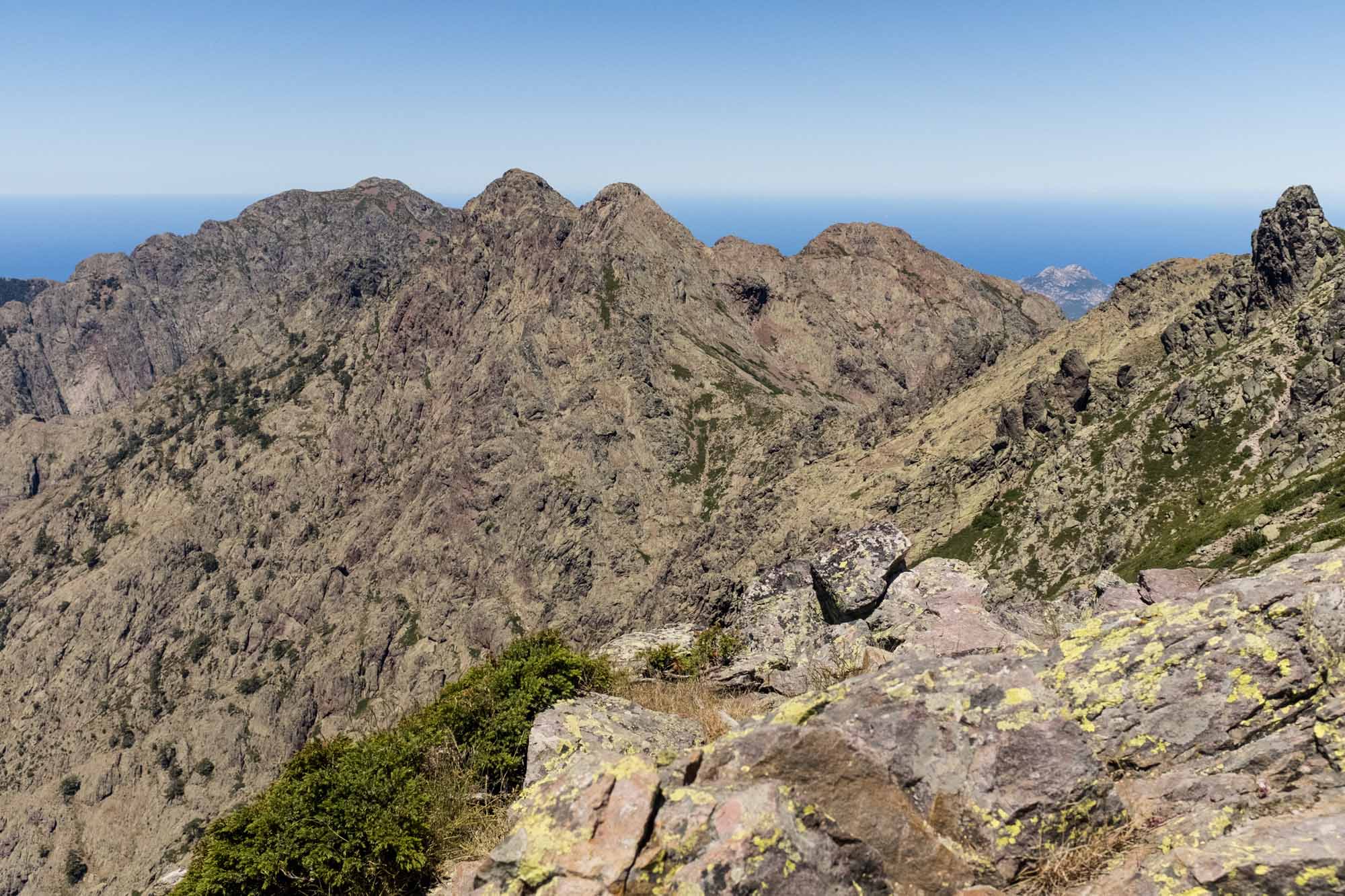
The stage starts from the Col de Vergio gîte and plunges straight into a dense forest of hundred-year-old laricio pines typical of the Valdu Niellu. The path gradually rises, revealing unobstructed views of the surrounding mountains and, in the distance, the Gulf of Sagone. Continuing upwards, you'll reach the Bocca San Petru. You will then arrive at the Bocca à Reta (1,883 m), where the view takes in the Corsican mountain range dominated by the imposing Monte Cinto, which rises to 2,706 metres. The descent takes you down to the peaceful Lac de Nino (1,743 m), famous for its expanses of green grassland and its pozzines, small natural pools where horses, cows and sheep come to drink freely. Following the course of the Tavignano, the path enters a magnificent beech forest with twisted trees sculpted by time. You will then cross the sheepfolds of Inzecche before arriving on the grassy plateau of Camputile. From here, you'll make your way to the Vaccaghja sheepfolds, not far from the pointe de Cimatella. The hike concludes with a final steep climb after crossing the Bocca d'Acqua Ciarnente (1,703 m), leading to the refuge where you will spend the night.
From Manganu to Petra Piana
From the Manganu refuge, the route begins with a gentle climb along the stream feeding the Zoicu. As you gain altitude, you reach some technical sections near the Brèche de Capitellu, some of which are equipped with chains to make the climb easier. You then continue towards Bocca Soglia, where the climb becomes more demanding through vast scree. The path oscillates between the east and west slopes, following a long ridge that offers spectacular views of the Melo and Capitello lakes, nestling in the heart of the Rotondo massif. The climb continues as far as Bocca Alle Porte, an emblematic section of the GR20 that perfectly illustrates the alpine and demanding nature of this hike. From here, you head up into the high mountains towards Bocca Muzzella, perched at an altitude of 2,206 metres. After this sustained climb, the path winds through alders on the southern flank of the A Maniccia summit.
From Petra Piana to Onda
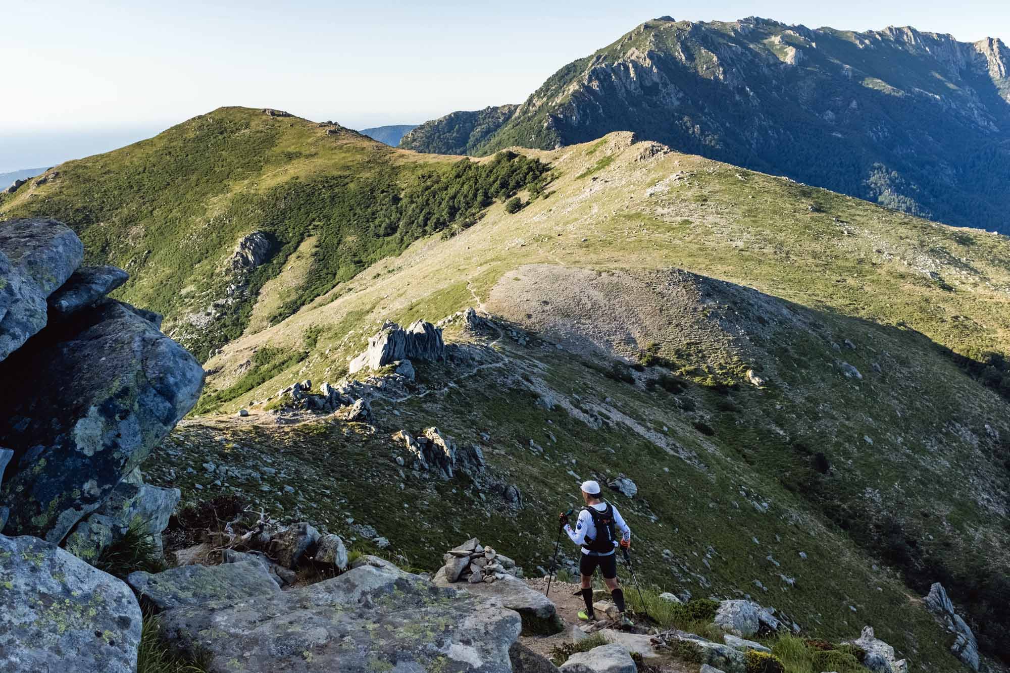
From the Petra Piana refuge, perched at an altitude of 1,850 metres, the route begins with a gradual climb towards the Bocca Manganello (1,790 m). Enjoy the wild, alpine scenery before climbing the Serra Bianca ridge, a section offering breathtaking views of the surrounding mountains. The trail continues towards the Pinzi Corbini peak (2,021 m), where spectacular views of Corsica's west coast and the Bay of Ajaccio are revealed. After this aerial section, the GR20 follows the ridges of the Serra di Tenda, taking you to the summit of Capu a Meta. The demanding climb rewards your efforts with grandiose landscapes and exceptional views of the island's interior. The final descent winds along the ridges before reaching the Onda sheepfolds.
From l'Onda to Vizzavona
From the Onda refuge, the route begins with a gradual climb offering spectacular views of the peaks of northern Corsica. You'll follow a path towards the ridge, passing close to the imposing Monte d'Oro, whose silhouette dominates the landscape. Once over the crest, the path descends into the valley, revealing the wild beauty of the surroundings. You'll soon reach the footbridge at the Torteto sheepfolds, nestling alongside the Agnone stream. Continuing along the stream, you'll reach the famous Cascade des Anglais, renowned for its pools and crystal-clear waters, ideal for a refreshing break. The route ends with a descent through a dense beech forest, where the GR20 winds its way to the end of this stage.
Programs have been drawn up according to the latest information available at the time of writing: imponderables are always possible and situations beyond our control may alter the course of the program.


