Start of your stay in Calvi
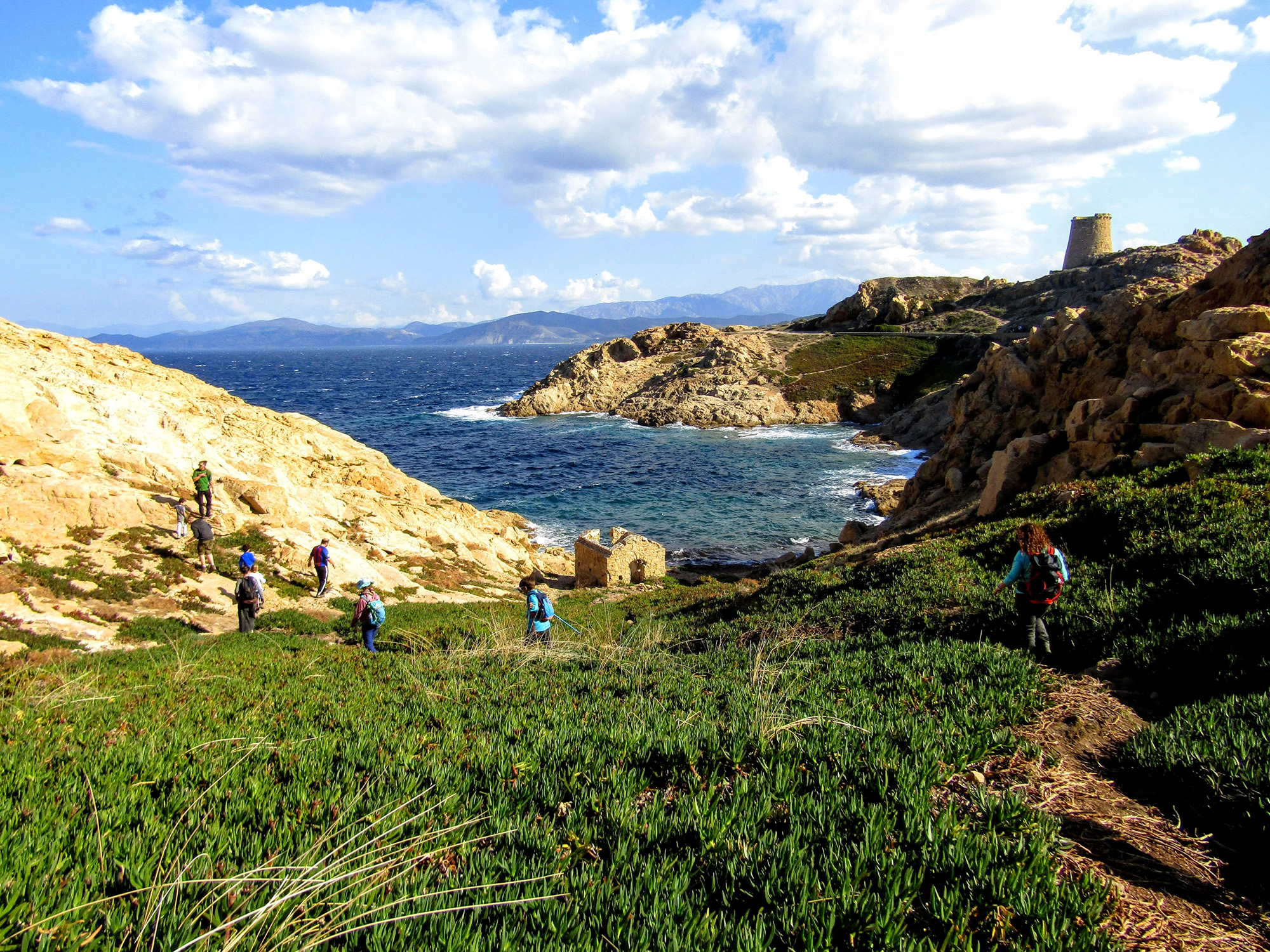
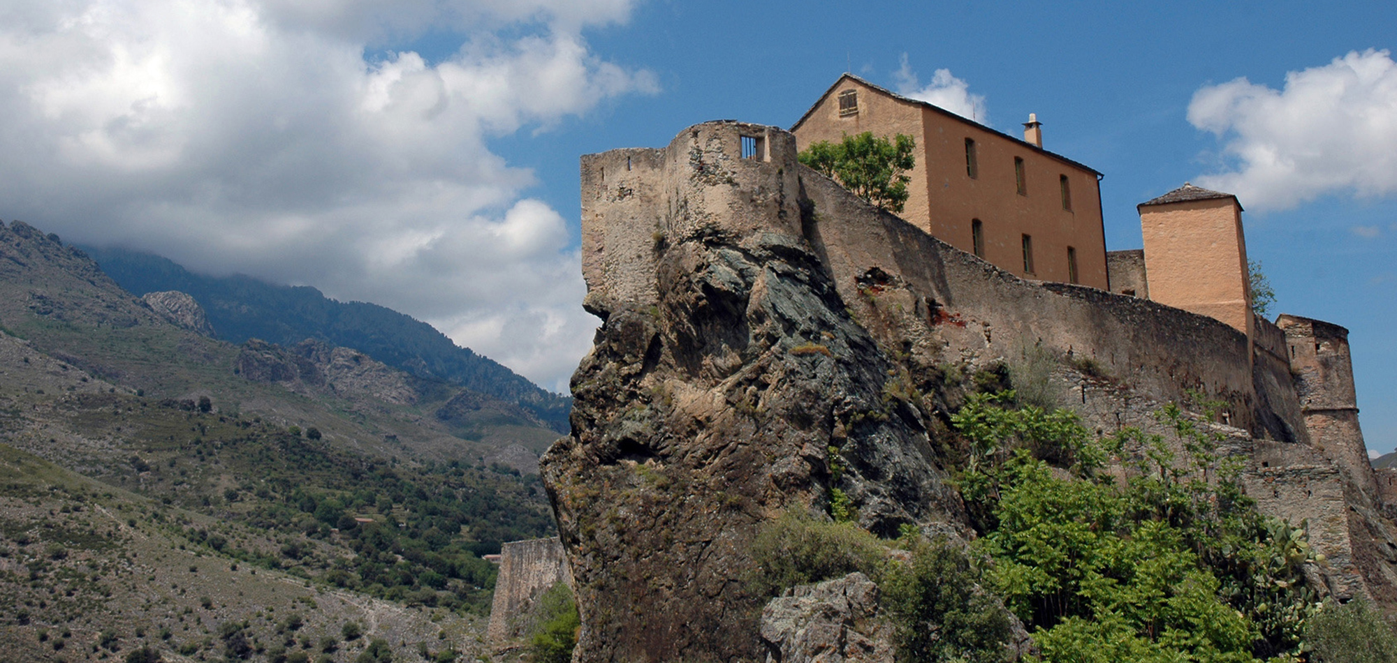
Meet directly at your hotel in the heart of Calvi. At 5 p.m., you will meet your guide for a briefing, who will explain the programme and give you valuable advice. You will then set off for the majestic Genoese citadel to enjoy dinner in a typical restaurant.
From Calenzana to Bonifatu
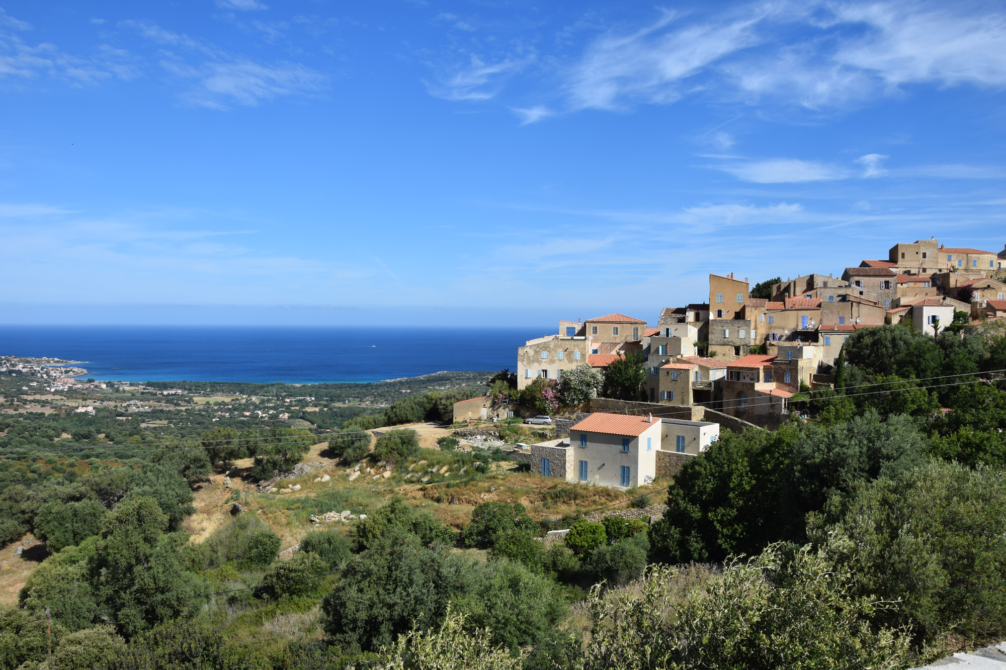
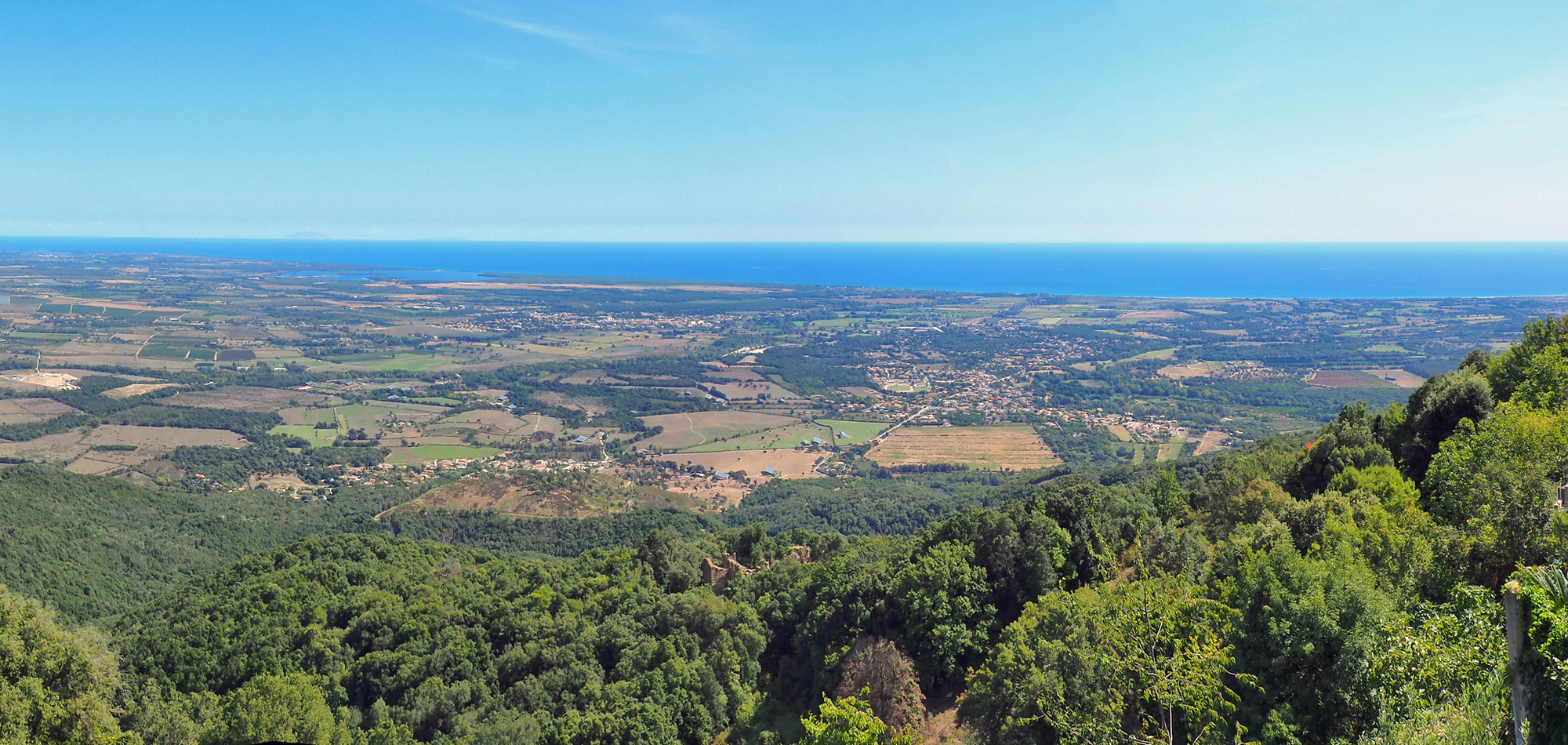
At 8 am, transfer to Calenzana, the emblematic starting point of the GR20. The route begins by crossing the narrow streets of this typical Balagne village, then rises above the houses, revealing magnificent views over the Figarella plain and the Bay of Calvi. Gradually, the path takes on a more mountainous character, and the scrubland gradually gives way to a pine forest. Following the old route of the GR20, you reach a ridge near the Santucci sheepfolds, before descending towards the Bonifatu cirque.
From Bonifatu to Haut Asco
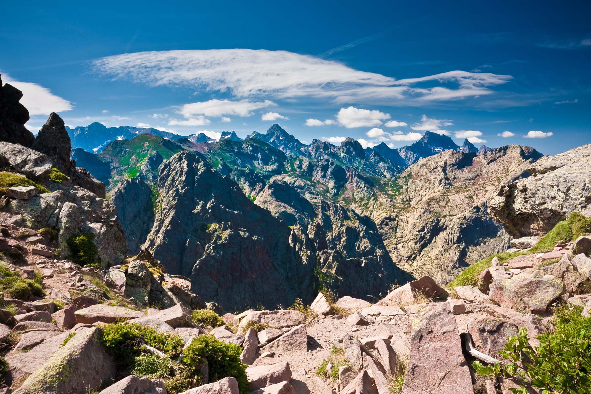
Leaving the Bonifatu forest, you cross the Spasimata footbridge to begin a majestic climb into the Bonifatu cirque. The route then continues over rocky slabs until you reach the Col de la Muvrella (2148 m), following a contour line. From here, the view of the Corsican mountains is breathtaking. The path then climbs up to the Bocca Stagnu pass (1980 m), then plunges through Laricio pines and winds through granite boulders to finally reach the ski resort.
From Haut Asco to Vallone
Today's stage begins at the Ascu Stagnu station, following a wooded path under laricio pines. The GR20 then crosses mineral terrain to the Tribulacciu cirque, with technical sections equipped with chains and ladders. The path leads to Lac d'Argentu, then to Pointe des Éboulis, the highest point on the GR20 at 2,604 m, offering views of the main peaks, including Monte Cinto. The descent to Bocca Crucetta is through scree. From the pass, you can see Lac du Cinto and its firn. A final descent leads to the Tighjettu refuge and then to the Vallone sheepfolds. This stage reinforces the GR20's reputation as one of the most difficult treks in Europe.
NB: On this stage, you'll spend the night at the Vallone sheepfold, where you can bivouac under the Laricio pines in the splendid Albertacce forest.Thanks to a 40-litre canyon bag provided the day before, you'll have access to some of your personal belongings.
From Vallone to Col de Vergio
The path climbs along the Stranciacone ravine, passes through the Albertacce forest, dotted with boulders, and leads to the Foggiale pass, where a splendid panorama opens up over the Niolu and Melarie valleys. The GR20 then continues on to the Ciottulu refuge, situated at an altitude of 2,000 m in the high glacial valley of the Golo, nestling at the foot of the majestic Paglia Orba (2,525 m), one of the most beautiful peaks in Corsica. The path runs alongside the River Golo, then leads to the Radule sheepfolds, surrounded by sumptuous Lariccio pines, symbols of the ancient traditional transhumance. The GR20 crosses a footbridge and concludes this stage in the Valdu Niellu biological reserve, in the heart of the highest peaks in the Parc Naturel Régional de Corse.
From Col de Vergio to Manganu
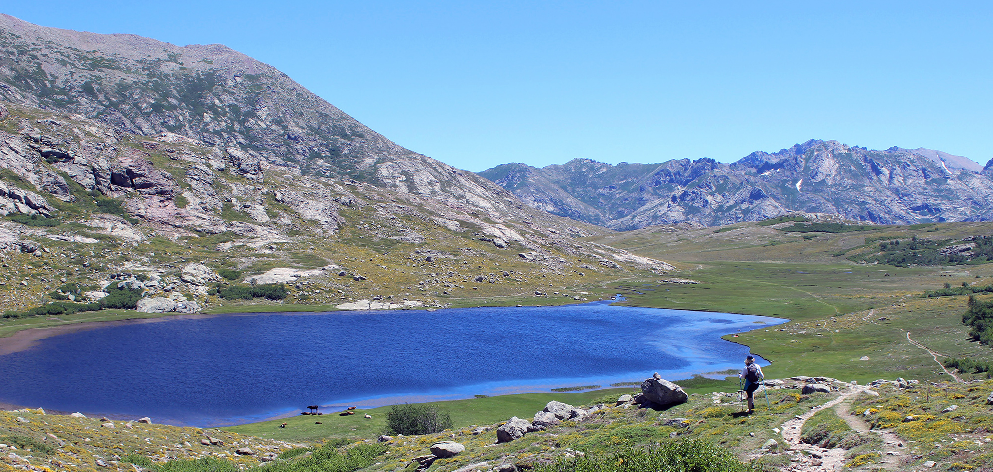
The stage begins at the Col de Vergio gîte, passing through the Valdu Niellu forest under majestic laricio pines. The view gradually widens, offering impressive panoramas as far as the Gulf of Sagone. On the way up, the GR20 passes the Bocca San Petru and follows the ridge of the Serra San Tomaghju to the Col Saint-Pierre. You'll reach the Bocca à Reta (1883 m), with a spectacular view of the central Corsican mountain range, dominated by Monte Cinto (2706 m). The descent leads to Lac de Nino (1743 m), surrounded by meadows and pozzines where horses, cows and sheep graze. Running alongside the Tavignano, the trail then passes through a forest of sculpted beech trees, before reaching the Inzecche sheepfolds and then the Camputile plateau on the way to the Vaccaghja sheepfolds, near the Cimetella headland. The hike ends with a climb past the Bocca d'Acqua Ciarnente (1703 m) to the refuge.
NB: For the night at the Manganu refuge, you will not have access to your luggage.A sleeping bag and a sheet will be provided by our agency to lighten your equipment.
From Manganu to the Restonica
Starting from the Manganu refuge, you will begin your hike towards the majestic ridges of the GR20, offering exceptional panoramic views. From the ridge line, you can see the whole island: to the west, the sea and the Gulf of Sagone; to the east, the Restonica valley and its shimmering lakes. You will cross two of the highest passes on the GR20, the Bocca alle Porte and the Brèche de Capitellu, culminating at 2,220 metres. The path then descends in steep terrain, crossing vast scree and imposing granite slabs, with passages secured by chains to ease progress on the technical sections. You will then reach the superb Capitello lakes, the highest glacial lake in Corsica, with its deep waters surrounded by high rock faces, and then the Mélo lake. The descent continues into the upper Restonica valley, past the Grotelle sheepfolds. At the end of the day, you will be transferred to a hotel in Corte.
NB: At the beginning of the season, the presence of persistent snow on the high altitude breaches, such as the Capitello breach, could make certain passages impassable and dangerous.To ensure your safety, the route may be adapted or modified accordingly.
The Agnone valley
This day will be devoted to transition and recuperation before embarking on the southern section of the GR20. On board the Trinichellu, which winds its way through timeless landscapes and small villages, you'll reach the railway station at Vizzavona. This hamlet marks the boundary between the northern and southern parts of the Fra Li Monti route. Your objective for the day: to reach the famous Cascades des Anglais and the Tortetto footbridge, nestling at the foot of the Monte d'Oro massif. The route follows the River Agnone through the heart of the thick Vizzavona forest, once exploited for the quality of its timber. In the afternoon, you'll reach the Vizzavona pass and your accommodation, the Monte d'Oro, a veritable institution for almost a century.
From Vizzavona to Verde
Depart at sunrise for the longest stage of the GR20, a day with no major technical difficulties but demanding in terms of distance. The path, which is pleasant and not very rocky, follows the old transhumance routes used by shepherds and their flocks in search of pasture. You'll start by climbing to the Bocca Palmente pass at 1,644 metres, passing by remnants of agro-pastoralism such as sheepfolds and enclosures. Along the way, you'll pass the Alzeta, Scarpaccedié and Tragette sheepfolds before continuing on to the Cardo ridge. After a break at the Capanelle-Ghisoni ski resort, the path winds along the balcony of the Ghisoni municipal forest, winding through the beech trees of the Renoso massif at 2,352 metres. Towards the end of the stage, you will cross the Casaccie bridge, the Flasca pass, before reaching the Verde pass at 1,289 metres, bringing this day's walk to a close.
From Verde to Cozzano
From your gîte nestling in the heart of the forest, you'll start your ascent towards the Prati refuge for a first stop. You'll then make your way between ridges and imposing rocky masses, enjoying superb views of the Diana, Urbinu and Palu ponds, as well as the islands of Elba and Monte Cristo in the distance. The steep path takes you up to Punta di Latoncellu before reaching the summit of Punta Capella, at 2041 m altitude. You then continue along the ridge of Punta di Campolongo, before beginning the descent towards the Col de Laparo, at 1525 m, through the Santu Antone forest. Finally, you join the Mare a Mare Centre trail for a beautiful descent to the village of Cozzano.
From Cozzano to Croci
After a comforting and rewarding break in the village, a path through the heart of the beech forest will take you to the GR20 at the Col d'Usciolu, at an altitude of 1,733 m, near the refuge of the same name. This is where the famous crossing of the ‘arête des statues’ begins, a spectacular passage through blocks of granite sculpted by erosion, with the Tyrrhenian Sea visible on the horizon in the background. The views along this stretch are breathtaking. Shortly afterwards, the path begins its descent towards the Cuscionu plateau. At the end of this magnificent stage, the Croci sheepfolds will welcome you for a convivial evening.
From Croci to Bavella
The route leads through lush green meadows where wild horses gallop freely. Then the climb begins: the trees disappear, giving way to thorny shrubbery that will accompany you all the way to the Stazzunara pass (2025 m), the last pass at over 2000 metres on the GR20 trail. The views are spectacular: the magnificent Aiguilles de Bavella, nearby Sardinia and the Gulf of Porto-Vecchio already signal the approach of the end. The path then plunges through a mass of rocks to reach the Asinao refuge and the ancient sheepfolds, a place inhabited by man since prehistoric times. The crossing continues via the alpine variant of the Aiguilles or Tours de Bavella, whose granite peaks rise skywards above the Bavella forest.
From Bavella to Conca
The Col de Bavella, culminating at 1217 metres, was once a grazing area where many families came to spend the summer. At that time, the immense forest we know today did not yet exist, leaving vast pastures in its place. The path plunges into this environment, leading to the last refuge, Paliri, at 1055 metres altitude. Gradually, the vegetation changes, revealing the typical species of Corsican scrub: arbutus, heather, myrtle... The sea can be felt, closer than ever, and at the end of the path, the first houses of the village of Conca appear. After the hike, a bus transfer will take you to Porto-Vecchio.
Programs have been drawn up according to the latest information available at the time of writing: imponderables are always possible and situations beyond our control may alter the course of the program.


