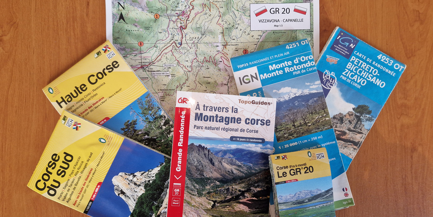
What maps should I take on the GR20?
When preparing for the GR20, we recommend that you pack IGN maps in your rucksack. Maps are crucial for finding your way around the route, anticipating difficulties, understanding the terrain or finding an alternative route to a village if you need to.
The GR20 route is well signposted throughout. Although it is never advisable to walk without a map, it is true that the signposting is so good that hikers may never need to refer to a map to find their way. However, this would mean walking in total isolation from the environment, without knowing the names of the neighbouring mountains and valleys, without knowing the shape of the terrain in advance and without knowing that there are other possible routes.
Walking without a map means walking without any real knowledge of your surroundings. As a hiking agency, we strongly advise all GR20 trekkers to set off with hiking maps.
The IGN TOP 25 series
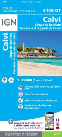
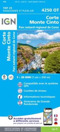
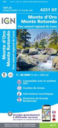
The best maps of the route are produced by the IGN (Institut géographique national) at a scale of 1:25,000. These maps have a blue cover and belong to the Top 25 series. Six sheets are required to cover the entire route, as follows:
- 4149 OT Calvi Cirque de Bonifatu
- 4250 OT Corte and Monte Cinto
- 4251 OT Monte d'Oro and Monte Rotondo
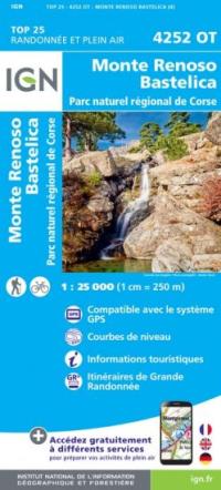
- 4252 OT Monte Renoso Bastelica
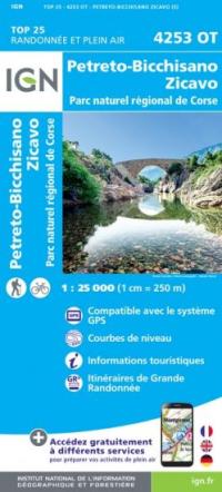
- 4253 OT Petreto-Bicchisano and Zicavo
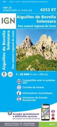
- 4253 ET Aiguilles de Bavella and Solenzara
4149 OT Calvi
4250 OT Corte Monte Cinto
4251 OT Monte d'Oro
4252 OT Monte Renoso
4253 OT Petreto
4253 ET Bavella
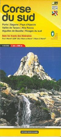
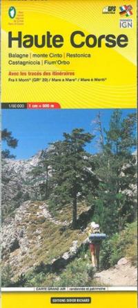
Didier Richard maps scale: 1:50,000
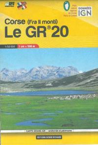
Didier Richard's popular 1:50,000 scale series covers the GR20 on two sheets. There is also a postal format which covers the GR20 area only.
The corresponding numbers are :
- 20 Haute Corse
- 23 South Corsica
- Corsica (Fra li monti) The GR20
Corse du Sud
Haute Corse
Corse - Le GR20
All these maps can be purchased directly from: https://boutique.ign.fr/
